![Manhattan, V. 1, double page plate No. 20 [Map Bounded by Varick réunis, Houston réunis, Sullivan réunis, Thompson réunis, Broomr réunis, Clarke.] 1894 Banque D'Images Manhattan, V. 1, double page plate No. 20 [Map Bounded by Varick réunis, Houston réunis, Sullivan réunis, Thompson réunis, Broomr réunis, Clarke.] 1894 Banque D'Images](https://l450v.alamy.com/450vfr/2ypem6j/manhattan-v-1-double-page-plate-no-20-map-bounded-by-varick-reunis-houston-reunis-sullivan-reunis-thompson-reunis-broomr-reunis-clarke-1894-2ypem6j.jpg) Manhattan, V. 1, double page plate No. 20 [Map Bounded by Varick réunis, Houston réunis, Sullivan réunis, Thompson réunis, Broomr réunis, Clarke.] 1894 Banque D'Imageshttps://www.alamyimages.fr/image-license-details/?v=1https://www.alamyimages.fr/manhattan-v-1-double-page-plate-no-20-map-bounded-by-varick-reunis-houston-reunis-sullivan-reunis-thompson-reunis-broomr-reunis-clarke-1894-image633418874.html
Manhattan, V. 1, double page plate No. 20 [Map Bounded by Varick réunis, Houston réunis, Sullivan réunis, Thompson réunis, Broomr réunis, Clarke.] 1894 Banque D'Imageshttps://www.alamyimages.fr/image-license-details/?v=1https://www.alamyimages.fr/manhattan-v-1-double-page-plate-no-20-map-bounded-by-varick-reunis-houston-reunis-sullivan-reunis-thompson-reunis-broomr-reunis-clarke-1894-image633418874.htmlRM2YPEM6J–Manhattan, V. 1, double page plate No. 20 [Map Bounded by Varick réunis, Houston réunis, Sullivan réunis, Thompson réunis, Broomr réunis, Clarke.] 1894
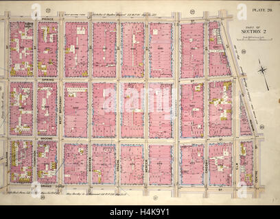 Assiette 20, partie de la Section 2 : délimité par la rue Prince, Marion Street, rue Centre, Grand Rue et Sullivan Street, New York Banque D'Imageshttps://www.alamyimages.fr/image-license-details/?v=1https://www.alamyimages.fr/photo-image-assiette-20-partie-de-la-section-2-delimite-par-la-rue-prince-marion-street-rue-centre-grand-rue-et-sullivan-street-new-york-123356101.html
RMH4K9Y1–Assiette 20, partie de la Section 2 : délimité par la rue Prince, Marion Street, rue Centre, Grand Rue et Sullivan Street, New York
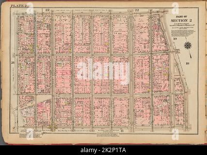 Cartographie, cartes. 1927. Lionel Pincus et Princess Firyal Map Division. Immobilier , New York (État) , New York, Manhattan (New York, New York) Plaque 20, partie de la section 2 : délimitée par la rue Prince, la rue Cleveland, la rue Centre, la rue Grand et la rue Sullivan Banque D'Imageshttps://www.alamyimages.fr/image-license-details/?v=1https://www.alamyimages.fr/cartographie-cartes-1927-lionel-pincus-et-princess-firyal-map-division-immobilier-new-york-etat-new-york-manhattan-new-york-new-york-plaque-20-partie-de-la-section-2-delimitee-par-la-rue-prince-la-rue-cleveland-la-rue-centre-la-rue-grand-et-la-rue-sullivan-image483604026.html
RM2K2P1TA–Cartographie, cartes. 1927. Lionel Pincus et Princess Firyal Map Division. Immobilier , New York (État) , New York, Manhattan (New York, New York) Plaque 20, partie de la section 2 : délimitée par la rue Prince, la rue Cleveland, la rue Centre, la rue Grand et la rue Sullivan
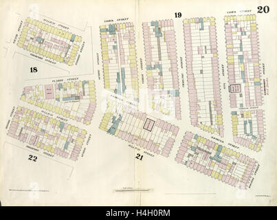 Assiette 20 : carte délimitée par Hamersley Street, Houston Street, Sullivan Street, Spring street, Thompson Street, Grand Rue Banque D'Imageshttps://www.alamyimages.fr/image-license-details/?v=1https://www.alamyimages.fr/photo-image-assiette-20-carte-delimitee-par-hamersley-street-houston-street-sullivan-street-spring-street-thompson-street-grand-rue-123305048.html
RMH4H0RM–Assiette 20 : carte délimitée par Hamersley Street, Houston Street, Sullivan Street, Spring street, Thompson Street, Grand Rue
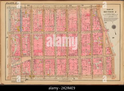 Cartographic, Maps. 1921 - 1923. Lionel Pincus and Princess Firyal Map Division. Real property , New York (State) , New York, Manhattan (New York, N.Y.) Plate 20: Bounded by Prince Street, Lafayette Street, Cleveland Place, Centre Street, Grand Street and Sullivan Street Stock Photohttps://www.alamyimages.fr/image-license-details/?v=1https://www.alamy.com/cartographic-maps-1921-1923-lionel-pincus-and-princess-firyal-map-division-real-property-new-york-state-new-york-manhattan-new-york-ny-plate-20-bounded-by-prince-street-lafayette-street-cleveland-place-centre-street-grand-street-and-sullivan-street-image483628049.html
RM2K2R4E9–Cartographic, Maps. 1921 - 1923. Lionel Pincus and Princess Firyal Map Division. Real property , New York (State) , New York, Manhattan (New York, N.Y.) Plate 20: Bounded by Prince Street, Lafayette Street, Cleveland Place, Centre Street, Grand Street and Sullivan Street
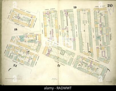 Assiette 20 : carte délimitée par Sullivan, rue Varick Street, West Houston Street, Spring Street, Thompson Street, Broome repensé Banque D'Imageshttps://www.alamyimages.fr/image-license-details/?v=1https://www.alamyimages.fr/assiette-20-carte-delimitee-par-sullivan-rue-varick-street-west-houston-street-spring-street-thompson-street-broome-repense-image230183124.html
RFRADMWT–Assiette 20 : carte délimitée par Sullivan, rue Varick Street, West Houston Street, Spring Street, Thompson Street, Broome repensé
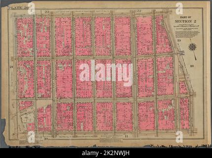 Cartographie, cartes. 1930. Lionel Pincus et Princess Firyal Map Division. Immobilier , New York (État) , New York, Manhattan (New York, New York) Plaque 20, partie de la section 2 : délimitée par la rue Prince, la rue Cleveland, la rue Centre, la rue Grand et la rue Sullivan Banque D'Imageshttps://www.alamyimages.fr/image-license-details/?v=1https://www.alamyimages.fr/cartographie-cartes-1930-lionel-pincus-et-princess-firyal-map-division-immobilier-new-york-etat-new-york-manhattan-new-york-new-york-plaque-20-partie-de-la-section-2-delimitee-par-la-rue-prince-la-rue-cleveland-la-rue-centre-la-rue-grand-et-la-rue-sullivan-image483600729.html
RM2K2NWJH–Cartographie, cartes. 1930. Lionel Pincus et Princess Firyal Map Division. Immobilier , New York (État) , New York, Manhattan (New York, New York) Plaque 20, partie de la section 2 : délimitée par la rue Prince, la rue Cleveland, la rue Centre, la rue Grand et la rue Sullivan
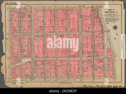 Cartographie, cartes. 1925. Lionel Pincus et Princess Firyal Map Division. Immobilier , New York (État) , New York, Manhattan (New York, New York) Plaque 20, partie de la section 2 : délimitée par la rue Prince, la rue Cleveland, la rue Centre, la rue Grand et la rue Sullivan Banque D'Imageshttps://www.alamyimages.fr/image-license-details/?v=1https://www.alamyimages.fr/cartographie-cartes-1925-lionel-pincus-et-princess-firyal-map-division-immobilier-new-york-etat-new-york-manhattan-new-york-new-york-plaque-20-partie-de-la-section-2-delimitee-par-la-rue-prince-la-rue-cleveland-la-rue-centre-la-rue-grand-et-la-rue-sullivan-image483595615.html
RM2K2NK3Y–Cartographie, cartes. 1925. Lionel Pincus et Princess Firyal Map Division. Immobilier , New York (État) , New York, Manhattan (New York, New York) Plaque 20, partie de la section 2 : délimitée par la rue Prince, la rue Cleveland, la rue Centre, la rue Grand et la rue Sullivan
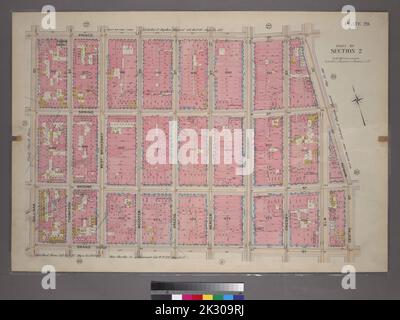 Cartographie, cartes. 1899. Lionel Pincus et Princess Firyal Map Division. Manhattan (New York, N.Y.), immeuble , New York (État) , New York plate 20, partie de la section 2 : délimitée par Prince Street, Marion Street, Center Street, Grand Street et Sullivan Street Banque D'Imageshttps://www.alamyimages.fr/image-license-details/?v=1https://www.alamyimages.fr/cartographie-cartes-1899-lionel-pincus-et-princess-firyal-map-division-manhattan-new-york-n-y-immeuble-new-york-etat-new-york-plate-20-partie-de-la-section-2-delimitee-par-prince-street-marion-street-center-street-grand-street-et-sullivan-street-image483741990.html
RM2K309RJ–Cartographie, cartes. 1899. Lionel Pincus et Princess Firyal Map Division. Manhattan (New York, N.Y.), immeuble , New York (État) , New York plate 20, partie de la section 2 : délimitée par Prince Street, Marion Street, Center Street, Grand Street et Sullivan Street
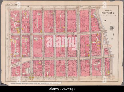 Cartographic, Maps. 1916. Lionel Pincus and Princess Firyal Map Division. Atlases, Manhattan (New York, N.Y.), Real property , New York (State) , New York Plate 20: Bounded by Prince Street, Cleveland Street, Centre Street, Grand Street, and Sullivan Street Part of Section 2 Stock Photohttps://www.alamyimages.fr/image-license-details/?v=1https://www.alamy.com/cartographic-maps-1916-lionel-pincus-and-princess-firyal-map-division-atlases-manhattan-new-york-ny-real-property-new-york-state-new-york-plate-20-bounded-by-prince-street-cleveland-street-centre-street-grand-street-and-sullivan-street-part-of-section-2-image483733211.html
RM2K2YXJ3–Cartographic, Maps. 1916. Lionel Pincus and Princess Firyal Map Division. Atlases, Manhattan (New York, N.Y.), Real property , New York (State) , New York Plate 20: Bounded by Prince Street, Cleveland Street, Centre Street, Grand Street, and Sullivan Street Part of Section 2
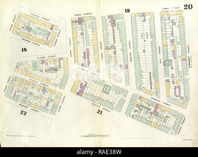 Assiette 20 : carte délimitée par Hamersley Street, Houston Street, Sullivan Street, Spring street, Thompson Street, Grand repensé Banque D'Imageshttps://www.alamyimages.fr/image-license-details/?v=1https://www.alamyimages.fr/assiette-20-carte-delimitee-par-hamersley-street-houston-street-sullivan-street-spring-street-thompson-street-grand-repense-image230191273.html
RFRAE38W–Assiette 20 : carte délimitée par Hamersley Street, Houston Street, Sullivan Street, Spring street, Thompson Street, Grand repensé
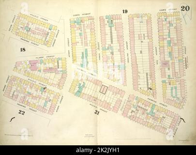 Cartographie, cartes. 1857 - 1862. Lionel Pincus et Princess Firyal carte Division planche 20 : carte délimitée par la rue Sullivan, la rue Varick, la rue West Houston, la rue Spring, la rue Thompson, Broome Street, Grand Street; y compris Clarke Street, MacDougal Street, Vandam Street, Charlton Street, King Street Banque D'Imageshttps://www.alamyimages.fr/image-license-details/?v=1https://www.alamyimages.fr/cartographie-cartes-1857-1862-lionel-pincus-et-princess-firyal-carte-division-planche-20-carte-delimitee-par-la-rue-sullivan-la-rue-varick-la-rue-west-houston-la-rue-spring-la-rue-thompson-broome-street-grand-street-y-compris-clarke-street-macdougal-street-vandam-street-charlton-street-king-street-image483536397.html
RM2K2JYH1–Cartographie, cartes. 1857 - 1862. Lionel Pincus et Princess Firyal carte Division planche 20 : carte délimitée par la rue Sullivan, la rue Varick, la rue West Houston, la rue Spring, la rue Thompson, Broome Street, Grand Street; y compris Clarke Street, MacDougal Street, Vandam Street, Charlton Street, King Street