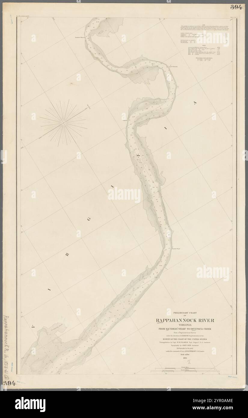
Carte préliminaire de la rivière Rappahannock, Virginie, : From Saunders' Wharf to Occupacia Creek : from a trigonometrical Survey under the direction of A.D. Bache, Superintendent of the Survey of the Coast of the United States 1856 by Bache, A.D. (Alexander Dallas), 1806-1867

RMID:ID de l’image:2YR0AME
Détails de l'image
Contributeur:
MAPGEN / Alamy Banque D'ImagesID de l’image:
2YR0AMETaille du fichier:
230,1 MB (6 MB Téléchargement compressé)Autorisations:
Modèle - non | Propriété - nonUne autorisation est-elle nécessaire?Dimensions:
7147 x 11254 px | 60,5 x 95,3 cm | 23,8 x 37,5 inches | 300dpiInformations supplémentaires:
Cette image appartient au domaine public, ce qui signifie que le droit d’auteur a expiré ou que le titulaire du droit d’auteur a renoncé à ses droits. Les frais facturés par Alamy couvrent l’accès à la copie haute résolution de l’image.
Cette image peut avoir des imperfections car il s’agit d’une image historique ou de reportage.