Sud canberra Banque de photos noir et blanc
(254)Sud canberra Banque de photos noir et blanc
 Carte de localisation du CONSEIL DE DISTRICT DE GRANT, AUSTRALIE MÉRIDIONALE Illustration de Vecteurhttps://www.alamyimages.fr/image-license-details/?v=1https://www.alamyimages.fr/carte-de-localisation-du-conseil-de-district-de-grant-australie-meridionale-image474660333.html
RF2JG6J2N–Carte de localisation du CONSEIL DE DISTRICT DE GRANT, AUSTRALIE MÉRIDIONALE
 Australie méridionale, État de l'Australie. Carte d'altitude à deux niveaux avec lacs et rivières. Lieux des principales villes de la région. Emplacement auxiliaire d'angle m Banque D'Imageshttps://www.alamyimages.fr/image-license-details/?v=1https://www.alamyimages.fr/australie-meridionale-etat-de-l-australie-carte-d-altitude-a-deux-niveaux-avec-lacs-et-rivieres-lieux-des-principales-villes-de-la-region-emplacement-auxiliaire-d-angle-m-image482100095.html
RF2K09FGF–Australie méridionale, État de l'Australie. Carte d'altitude à deux niveaux avec lacs et rivières. Lieux des principales villes de la région. Emplacement auxiliaire d'angle m
 Région de l'Australie méridionale, État de l'Australie, isolée sur un fond solide dans une boîte englobante géoréférencée. Étiquettes. Carte d'élévation à deux niveaux. Rendu 3D Banque D'Imageshttps://www.alamyimages.fr/image-license-details/?v=1https://www.alamyimages.fr/region-de-l-australie-meridionale-etat-de-l-australie-isolee-sur-un-fond-solide-dans-une-boite-englobante-georeferencee-etiquettes-carte-d-elevation-a-deux-niveaux-rendu-3d-image368241923.html
RF2CB2T97–Région de l'Australie méridionale, État de l'Australie, isolée sur un fond solide dans une boîte englobante géoréférencée. Étiquettes. Carte d'élévation à deux niveaux. Rendu 3D
 Carte de localisation du CONSEIL LUCINDALE DE NARACOORTE, AUSTRALIE MÉRIDIONALE Illustration de Vecteurhttps://www.alamyimages.fr/image-license-details/?v=1https://www.alamyimages.fr/carte-de-localisation-du-conseil-lucindale-de-naracoorte-australie-meridionale-image474660471.html
RF2JG6J7K–Carte de localisation du CONSEIL LUCINDALE DE NARACOORTE, AUSTRALIE MÉRIDIONALE
 Carte de localisation du CONSEIL DE LA PÉNINSULE DE YORKE, AUSTRALIE MÉRIDIONALE Illustration de Vecteurhttps://www.alamyimages.fr/image-license-details/?v=1https://www.alamyimages.fr/carte-de-localisation-du-conseil-de-la-peninsule-de-yorke-australie-meridionale-image474660391.html
RF2JG6J4R–Carte de localisation du CONSEIL DE LA PÉNINSULE DE YORKE, AUSTRALIE MÉRIDIONALE
 Carte de localisation du CONSEIL DE DISTRICT du WUDINNA, AUSTRALIE MÉRIDIONALE Illustration de Vecteurhttps://www.alamyimages.fr/image-license-details/?v=1https://www.alamyimages.fr/carte-de-localisation-du-conseil-de-district-du-wudinna-australie-meridionale-image474660632.html
RF2JG6JDC–Carte de localisation du CONSEIL DE DISTRICT du WUDINNA, AUSTRALIE MÉRIDIONALE
 Carte de localisation du MID MURRAY COUNCIL, AUSTRALIE MÉRIDIONALE Illustration de Vecteurhttps://www.alamyimages.fr/image-license-details/?v=1https://www.alamyimages.fr/carte-de-localisation-du-mid-murray-council-australie-meridionale-image474660324.html
RF2JG6J2C–Carte de localisation du MID MURRAY COUNCIL, AUSTRALIE MÉRIDIONALE
 Carte de localisation du CONSEIL BERRI BARMERA, AUSTRALIE MÉRIDIONALE Illustration de Vecteurhttps://www.alamyimages.fr/image-license-details/?v=1https://www.alamyimages.fr/carte-de-localisation-du-conseil-berri-barmera-australie-meridionale-image474660329.html
RF2JG6J2H–Carte de localisation du CONSEIL BERRI BARMERA, AUSTRALIE MÉRIDIONALE
 Carte de localisation du KANGAROO ISLAND COUNCIL, AUSTRALIE MÉRIDIONALE Illustration de Vecteurhttps://www.alamyimages.fr/image-license-details/?v=1https://www.alamyimages.fr/carte-de-localisation-du-kangaroo-island-council-australie-meridionale-image474660521.html
RF2JG6J9D–Carte de localisation du KANGAROO ISLAND COUNCIL, AUSTRALIE MÉRIDIONALE
 Carte de localisation du CONSEIL DE RENMARK PARINGA, AUSTRALIE MÉRIDIONALE Illustration de Vecteurhttps://www.alamyimages.fr/image-license-details/?v=1https://www.alamyimages.fr/carte-de-localisation-du-conseil-de-renmark-paringa-australie-meridionale-image474660490.html
RF2JG6J8A–Carte de localisation du CONSEIL DE RENMARK PARINGA, AUSTRALIE MÉRIDIONALE
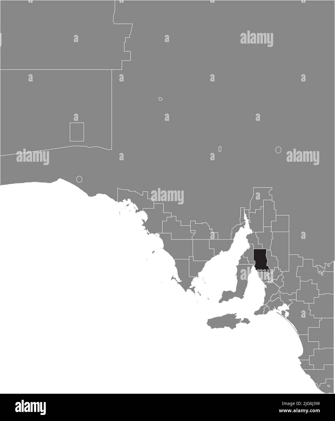 Carte de localisation du CONSEIL RÉGIONAL DE WAKEFIELD, AUSTRALIE MÉRIDIONALE Illustration de Vecteurhttps://www.alamyimages.fr/image-license-details/?v=1https://www.alamyimages.fr/carte-de-localisation-du-conseil-regional-de-wakefield-australie-meridionale-image474660365.html
RF2JG6J3W–Carte de localisation du CONSEIL RÉGIONAL DE WAKEFIELD, AUSTRALIE MÉRIDIONALE
 Carte de localisation du CONSEIL RÉGIONAL DE LA LUMIÈRE, AUSTRALIE MÉRIDIONALE Illustration de Vecteurhttps://www.alamyimages.fr/image-license-details/?v=1https://www.alamyimages.fr/carte-de-localisation-du-conseil-regional-de-la-lumiere-australie-meridionale-image474660326.html
RF2JG6J2E–Carte de localisation du CONSEIL RÉGIONAL DE LA LUMIÈRE, AUSTRALIE MÉRIDIONALE
 Carte de localisation du CONSEIL DE DISTRICT DE ROBE, AUSTRALIE MÉRIDIONALE Illustration de Vecteurhttps://www.alamyimages.fr/image-license-details/?v=1https://www.alamyimages.fr/carte-de-localisation-du-conseil-de-district-de-robe-australie-meridionale-image474660487.html
RF2JG6J87–Carte de localisation du CONSEIL DE DISTRICT DE ROBE, AUSTRALIE MÉRIDIONALE
 Carte de localisation du CONSEIL DE DISTRICT D'ELLISTON, AUSTRALIE MÉRIDIONALE Illustration de Vecteurhttps://www.alamyimages.fr/image-license-details/?v=1https://www.alamyimages.fr/carte-de-localisation-du-conseil-de-district-d-elliston-australie-meridionale-image474660420.html
RF2JG6J5T–Carte de localisation du CONSEIL DE DISTRICT D'ELLISTON, AUSTRALIE MÉRIDIONALE
 Carte de localisation du CONSEIL DE DISTRICT DE CLEVE, AUSTRALIE MÉRIDIONALE Illustration de Vecteurhttps://www.alamyimages.fr/image-license-details/?v=1https://www.alamyimages.fr/carte-de-localisation-du-conseil-de-district-de-cleve-australie-meridionale-image474660879.html
RF2JG6JP7–Carte de localisation du CONSEIL DE DISTRICT DE CLEVE, AUSTRALIE MÉRIDIONALE
 Carte de localisation du CONSEIL DE DISTRICT DE PETERBOROUGH, AUSTRALIE-MÉRIDIONALE Illustration de Vecteurhttps://www.alamyimages.fr/image-license-details/?v=1https://www.alamyimages.fr/carte-de-localisation-du-conseil-de-district-de-peterborough-australie-meridionale-image474660485.html
RF2JG6J85–Carte de localisation du CONSEIL DE DISTRICT DE PETERBOROUGH, AUSTRALIE-MÉRIDIONALE
 Carte de localisation du CONSEIL DE DISTRICT DE COORONG, AUSTRALIE MÉRIDIONALE Illustration de Vecteurhttps://www.alamyimages.fr/image-license-details/?v=1https://www.alamyimages.fr/carte-de-localisation-du-conseil-de-district-de-coorong-australie-meridionale-image474660636.html
RF2JG6JDG–Carte de localisation du CONSEIL DE DISTRICT DE COORONG, AUSTRALIE MÉRIDIONALE
 Carte de localisation du CONSEIL DE L'AIRE DE RÉPARTITION, AUSTRALIE MÉRIDIONALE Illustration de Vecteurhttps://www.alamyimages.fr/image-license-details/?v=1https://www.alamyimages.fr/carte-de-localisation-du-conseil-de-l-aire-de-repartition-australie-meridionale-image474660296.html
RF2JG6J1C–Carte de localisation du CONSEIL DE L'AIRE DE RÉPARTITION, AUSTRALIE MÉRIDIONALE
 Carte de localisation du CONSEIL DE DISTRICT DE YANKALILLA, AUSTRALIE MÉRIDIONALE Illustration de Vecteurhttps://www.alamyimages.fr/image-license-details/?v=1https://www.alamyimages.fr/carte-de-localisation-du-conseil-de-district-de-yankalilla-australie-meridionale-image474660418.html
RF2JG6J5P–Carte de localisation du CONSEIL DE DISTRICT DE YANKALILLA, AUSTRALIE MÉRIDIONALE
 Carte de localisation de la VILLE DE VICTOR HARBOR, AUSTRALIE MÉRIDIONALE Illustration de Vecteurhttps://www.alamyimages.fr/image-license-details/?v=1https://www.alamyimages.fr/carte-de-localisation-de-la-ville-de-victor-harbor-australie-meridionale-image474660345.html
RF2JG6J35–Carte de localisation de la VILLE DE VICTOR HARBOR, AUSTRALIE MÉRIDIONALE
 Carte de localisation du CONSEIL COMMUNAUTAIRE GERARD, AUSTRALIE MÉRIDIONALE Illustration de Vecteurhttps://www.alamyimages.fr/image-license-details/?v=1https://www.alamyimages.fr/carte-de-localisation-du-conseil-communautaire-gerard-australie-meridionale-image474660629.html
RF2JG6JD9–Carte de localisation du CONSEIL COMMUNAUTAIRE GERARD, AUSTRALIE MÉRIDIONALE
 Carte de localisation du CONSEIL DES RÉGIONS DU NORD, AUSTRALIE MÉRIDIONALE Illustration de Vecteurhttps://www.alamyimages.fr/image-license-details/?v=1https://www.alamyimages.fr/carte-de-localisation-du-conseil-des-regions-du-nord-australie-meridionale-image474660389.html
RF2JG6J4N–Carte de localisation du CONSEIL DES RÉGIONS DU NORD, AUSTRALIE MÉRIDIONALE
 Carte de localisation de la RÉGION DU SUD ET DES COLLINES, AUSTRALIE MÉRIDIONALE Illustration de Vecteurhttps://www.alamyimages.fr/image-license-details/?v=1https://www.alamyimages.fr/carte-de-localisation-de-la-region-du-sud-et-des-collines-australie-meridionale-image474660362.html
RF2JG6J3P–Carte de localisation de la RÉGION DU SUD ET DES COLLINES, AUSTRALIE MÉRIDIONALE
 Carte de localisation du CONSEIL RÉGIONAL DE GOYDER, AUSTRALIE MÉRIDIONALE Illustration de Vecteurhttps://www.alamyimages.fr/image-license-details/?v=1https://www.alamyimages.fr/carte-de-localisation-du-conseil-regional-de-goyder-australie-meridionale-image474660314.html
RF2JG6J22–Carte de localisation du CONSEIL RÉGIONAL DE GOYDER, AUSTRALIE MÉRIDIONALE
 Carte de localisation du CONSEIL DE DISTRICT DE KIMBA, AUSTRALIE MÉRIDIONALE Illustration de Vecteurhttps://www.alamyimages.fr/image-license-details/?v=1https://www.alamyimages.fr/carte-de-localisation-du-conseil-de-district-de-kimba-australie-meridionale-image474660720.html
RF2JG6JGG–Carte de localisation du CONSEIL DE DISTRICT DE KIMBA, AUSTRALIE MÉRIDIONALE
 Carte grise des zones gouvernementales locales de L'AUSTRALIE MÉRIDIONALE Illustration de Vecteurhttps://www.alamyimages.fr/image-license-details/?v=1https://www.alamyimages.fr/carte-grise-des-zones-gouvernementales-locales-de-l-australie-meridionale-image474660727.html
RF2JG6JGR–Carte grise des zones gouvernementales locales de L'AUSTRALIE MÉRIDIONALE
 Carte de localisation du CONSEIL DE DISTRICT DE KINGSTON, AUSTRALIE MÉRIDIONALE Illustration de Vecteurhttps://www.alamyimages.fr/image-license-details/?v=1https://www.alamyimages.fr/carte-de-localisation-du-conseil-de-district-de-kingston-australie-meridionale-image474660348.html
RF2JG6J38–Carte de localisation du CONSEIL DE DISTRICT DE KINGSTON, AUSTRALIE MÉRIDIONALE
 Carte de localisation de la VILLE DE PORT AUGUSTA, AUSTRALIE MÉRIDIONALE Illustration de Vecteurhttps://www.alamyimages.fr/image-license-details/?v=1https://www.alamyimages.fr/carte-de-localisation-de-la-ville-de-port-augusta-australie-meridionale-image474660697.html
RF2JG6JFN–Carte de localisation de la VILLE DE PORT AUGUSTA, AUSTRALIE MÉRIDIONALE
 Carte blanche des zones gouvernementales locales de L'AUSTRALIE MÉRIDIONALE Illustration de Vecteurhttps://www.alamyimages.fr/image-license-details/?v=1https://www.alamyimages.fr/carte-blanche-des-zones-gouvernementales-locales-de-l-australie-meridionale-image474660779.html
RF2JG6JJK–Carte blanche des zones gouvernementales locales de L'AUSTRALIE MÉRIDIONALE
 Carte de localisation de la RÉGION MÉTROPOLITAINE D'ADÉLAÏDE, AUSTRALIE MÉRIDIONALE Illustration de Vecteurhttps://www.alamyimages.fr/image-license-details/?v=1https://www.alamyimages.fr/carte-de-localisation-de-la-region-metropolitaine-d-adelaide-australie-meridionale-image474660688.html
RF2JG6JFC–Carte de localisation de la RÉGION MÉTROPOLITAINE D'ADÉLAÏDE, AUSTRALIE MÉRIDIONALE
 Carte de localisation de la VILLE DE MOUNT GAMBIER, AUSTRALIE MÉRIDIONALE Illustration de Vecteurhttps://www.alamyimages.fr/image-license-details/?v=1https://www.alamyimages.fr/carte-de-localisation-de-la-ville-de-mount-gambier-australie-meridionale-image474660298.html
RF2JG6J1E–Carte de localisation de la VILLE DE MOUNT GAMBIER, AUSTRALIE MÉRIDIONALE
 Carte de localisation du CONSEIL DE DISTRICT DE CEDUNA, AUSTRALIE MÉRIDIONALE Illustration de Vecteurhttps://www.alamyimages.fr/image-license-details/?v=1https://www.alamyimages.fr/carte-de-localisation-du-conseil-de-district-de-ceduna-australie-meridionale-image474660575.html
RF2JG6JBB–Carte de localisation du CONSEIL DE DISTRICT DE CEDUNA, AUSTRALIE MÉRIDIONALE
 Carte de localisation du CONSEIL DE DISTRICT de TATIARA, AUSTRALIE MÉRIDIONALE Illustration de Vecteurhttps://www.alamyimages.fr/image-license-details/?v=1https://www.alamyimages.fr/carte-de-localisation-du-conseil-de-district-de-tatiara-australie-meridionale-image474660519.html
RF2JG6J9B–Carte de localisation du CONSEIL DE DISTRICT de TATIARA, AUSTRALIE MÉRIDIONALE
 Carte de localisation du CONSEIL DE LA CÔTE DU CUIVRE, AUSTRALIE MÉRIDIONALE Illustration de Vecteurhttps://www.alamyimages.fr/image-license-details/?v=1https://www.alamyimages.fr/carte-de-localisation-du-conseil-de-la-cote-du-cuivre-australie-meridionale-image474660901.html
RF2JG6JR1–Carte de localisation du CONSEIL DE LA CÔTE DU CUIVRE, AUSTRALIE MÉRIDIONALE
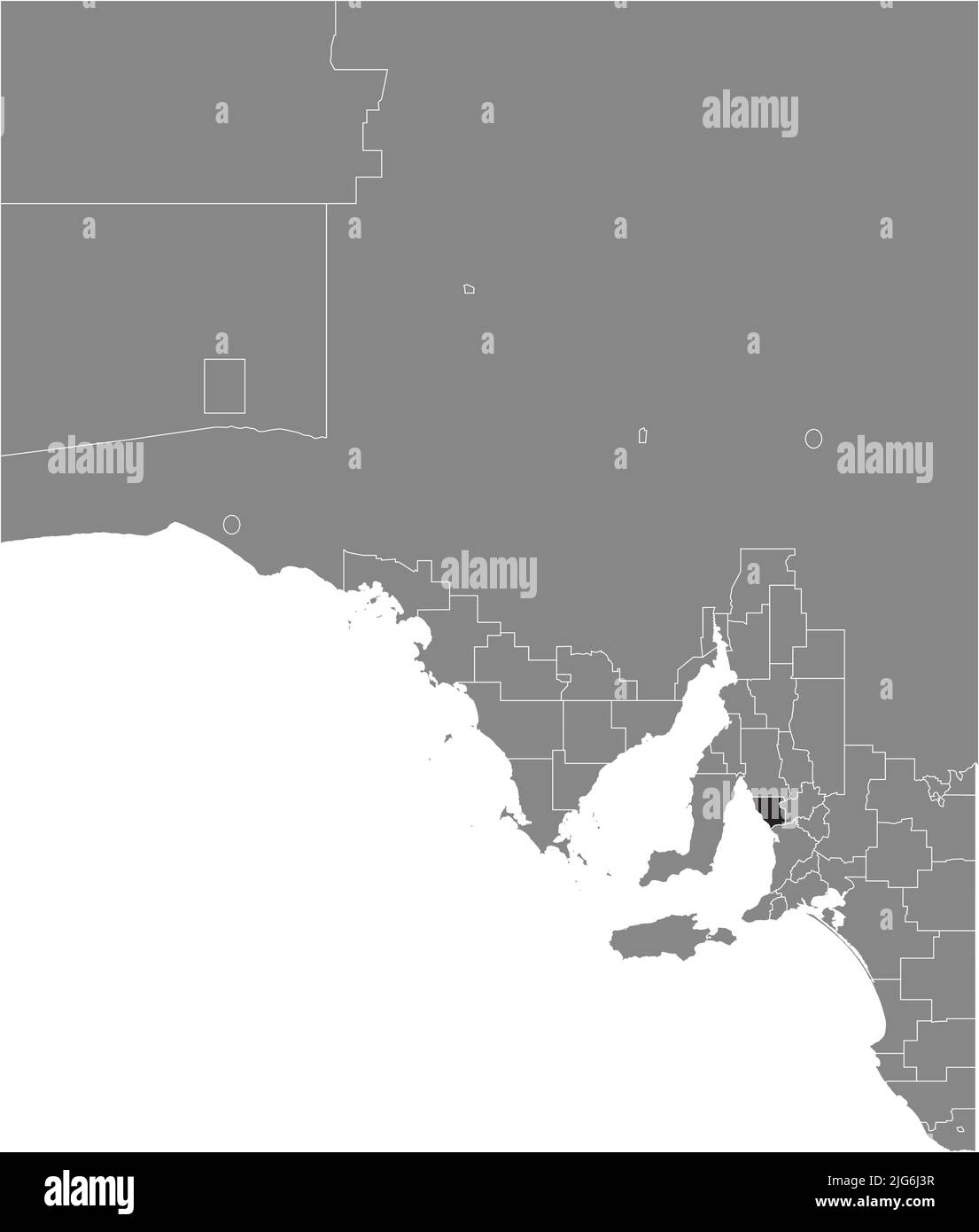 Carte de localisation du ADELAIDE PLAINS COUNCIL, AUSTRALIE MÉRIDIONALE Illustration de Vecteurhttps://www.alamyimages.fr/image-license-details/?v=1https://www.alamyimages.fr/carte-de-localisation-du-adelaide-plains-council-australie-meridionale-image474660363.html
RF2JG6J3R–Carte de localisation du ADELAIDE PLAINS COUNCIL, AUSTRALIE MÉRIDIONALE
 Carte de localisation du FLINDERS RANGES COUNCIL, AUSTRALIE MÉRIDIONALE Illustration de Vecteurhttps://www.alamyimages.fr/image-license-details/?v=1https://www.alamyimages.fr/carte-de-localisation-du-flinders-ranges-council-australie-meridionale-image474660724.html
RF2JG6JGM–Carte de localisation du FLINDERS RANGES COUNCIL, AUSTRALIE MÉRIDIONALE
 Carte marquée en gris foncé des régions de L'AUSTRALIE MÉRIDIONALE Illustration de Vecteurhttps://www.alamyimages.fr/image-license-details/?v=1https://www.alamyimages.fr/carte-marquee-en-gris-fonce-des-regions-de-l-australie-meridionale-image474660706.html
RF2JG6JG2–Carte marquée en gris foncé des régions de L'AUSTRALIE MÉRIDIONALE
 Carte de localisation du CONSEIL DE MURRUMBIDGEE, NOUVELLE-GALLES DU SUD Illustration de Vecteurhttps://www.alamyimages.fr/image-license-details/?v=1https://www.alamyimages.fr/carte-de-localisation-du-conseil-de-murrumbidgee-nouvelle-galles-du-sud-image474653359.html
RF2JG695K–Carte de localisation du CONSEIL DE MURRUMBIDGEE, NOUVELLE-GALLES DU SUD
 Carte de localisation du COWRA SHIRE, NOUVELLE-GALLES DU SUD Illustration de Vecteurhttps://www.alamyimages.fr/image-license-details/?v=1https://www.alamyimages.fr/carte-de-localisation-du-cowra-shire-nouvelle-galles-du-sud-image474653361.html
RF2JG695N–Carte de localisation du COWRA SHIRE, NOUVELLE-GALLES DU SUD
 Carte de localisation de la NARROMINE SHIRE, NOUVELLE-GALLES DU SUD Illustration de Vecteurhttps://www.alamyimages.fr/image-license-details/?v=1https://www.alamyimages.fr/carte-de-localisation-de-la-narromine-shire-nouvelle-galles-du-sud-image474653279.html
RF2JG692R–Carte de localisation de la NARROMINE SHIRE, NOUVELLE-GALLES DU SUD
 Carte de localisation de la VILLE DE LITHGOW, NOUVELLE-GALLES DU SUD Illustration de Vecteurhttps://www.alamyimages.fr/image-license-details/?v=1https://www.alamyimages.fr/carte-de-localisation-de-la-ville-de-lithgow-nouvelle-galles-du-sud-image474653230.html
RF2JG6912–Carte de localisation de la VILLE DE LITHGOW, NOUVELLE-GALLES DU SUD
 Carte de localisation du SHIRE BLAYNEY, NOUVELLE-GALLES DU SUD Illustration de Vecteurhttps://www.alamyimages.fr/image-license-details/?v=1https://www.alamyimages.fr/carte-de-localisation-du-shire-blayney-nouvelle-galles-du-sud-image474653137.html
RF2JG68WN–Carte de localisation du SHIRE BLAYNEY, NOUVELLE-GALLES DU SUD
 Carte de localisation du CONSEIL DES SOMMETS DES COLLINES, NOUVELLE-GALLES DU SUD Illustration de Vecteurhttps://www.alamyimages.fr/image-license-details/?v=1https://www.alamyimages.fr/carte-de-localisation-du-conseil-des-sommets-des-collines-nouvelle-galles-du-sud-image474653465.html
RF2JG699D–Carte de localisation du CONSEIL DES SOMMETS DES COLLINES, NOUVELLE-GALLES DU SUD
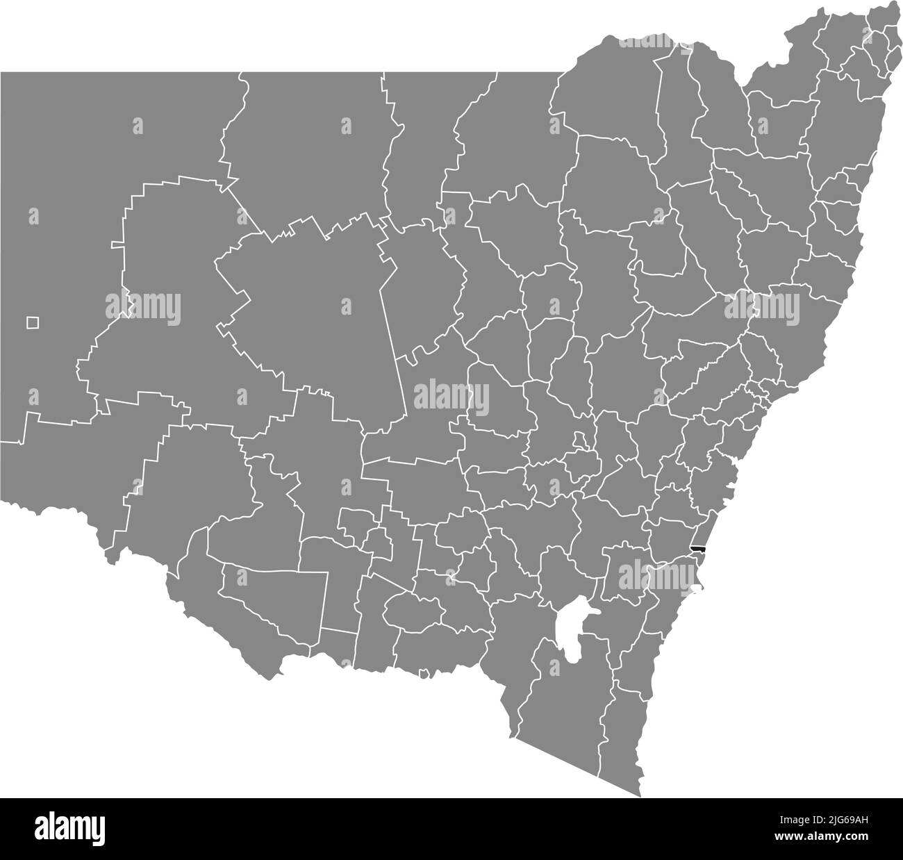 Carte de localisation de la VILLE DE SHELLHARBOR, NOUVELLE-GALLES DU SUD Illustration de Vecteurhttps://www.alamyimages.fr/image-license-details/?v=1https://www.alamyimages.fr/carte-de-localisation-de-la-ville-de-shellharbor-nouvelle-galles-du-sud-image474653497.html
RF2JG69AH–Carte de localisation de la VILLE DE SHELLHARBOR, NOUVELLE-GALLES DU SUD
 Carte de localisation de la VILLE DE CESSNOCK, NOUVELLE-GALLES DU SUD Illustration de Vecteurhttps://www.alamyimages.fr/image-license-details/?v=1https://www.alamyimages.fr/carte-de-localisation-de-la-ville-de-cessnock-nouvelle-galles-du-sud-image474653454.html
RF2JG6992–Carte de localisation de la VILLE DE CESSNOCK, NOUVELLE-GALLES DU SUD
 Carte de localisation du BOURKE SHIRE, NOUVELLE-GALLES DU SUD Illustration de Vecteurhttps://www.alamyimages.fr/image-license-details/?v=1https://www.alamyimages.fr/carte-de-localisation-du-bourke-shire-nouvelle-galles-du-sud-image474653231.html
RF2JG6913–Carte de localisation du BOURKE SHIRE, NOUVELLE-GALLES DU SUD
 Carte de localisation du WALCHA SHIRE, NOUVELLE-GALLES DU SUD Illustration de Vecteurhttps://www.alamyimages.fr/image-license-details/?v=1https://www.alamyimages.fr/carte-de-localisation-du-walcha-shire-nouvelle-galles-du-sud-image474653405.html
RF2JG6979–Carte de localisation du WALCHA SHIRE, NOUVELLE-GALLES DU SUD
 Carte de localisation du SHIRE DE MUSWELLBROOK, NOUVELLE-GALLES DU SUD Illustration de Vecteurhttps://www.alamyimages.fr/image-license-details/?v=1https://www.alamyimages.fr/carte-de-localisation-du-shire-de-muswellbrook-nouvelle-galles-du-sud-image474653439.html
RF2JG698F–Carte de localisation du SHIRE DE MUSWELLBROOK, NOUVELLE-GALLES DU SUD
 Carte de localisation du SHIRE de COONAMBLE, NOUVELLE-GALLES DU SUD Illustration de Vecteurhttps://www.alamyimages.fr/image-license-details/?v=1https://www.alamyimages.fr/carte-de-localisation-du-shire-de-coonamble-nouvelle-galles-du-sud-image474653247.html
RF2JG691K–Carte de localisation du SHIRE de COONAMBLE, NOUVELLE-GALLES DU SUD
 Carte de localisation de l'OBERON SHIRE, NOUVELLE-GALLES DU SUD Illustration de Vecteurhttps://www.alamyimages.fr/image-license-details/?v=1https://www.alamyimages.fr/carte-de-localisation-de-l-oberon-shire-nouvelle-galles-du-sud-image474653289.html
RF2JG6935–Carte de localisation de l'OBERON SHIRE, NOUVELLE-GALLES DU SUD
 Carte de localisation du SHIRE FORBES, NOUVELLE-GALLES DU SUD Illustration de Vecteurhttps://www.alamyimages.fr/image-license-details/?v=1https://www.alamyimages.fr/carte-de-localisation-du-shire-forbes-nouvelle-galles-du-sud-image474653281.html
RF2JG692W–Carte de localisation du SHIRE FORBES, NOUVELLE-GALLES DU SUD
 Carte de localisation du TEMPORA SHIRE, NOUVELLE-GALLES DU SUD Illustration de Vecteurhttps://www.alamyimages.fr/image-license-details/?v=1https://www.alamyimages.fr/carte-de-localisation-du-tempora-shire-nouvelle-galles-du-sud-image474653291.html
RF2JG6937–Carte de localisation du TEMPORA SHIRE, NOUVELLE-GALLES DU SUD
 Carte de localisation de l'EUROBODALLA SHIRE, NOUVELLE-GALLES DU SUD Illustration de Vecteurhttps://www.alamyimages.fr/image-license-details/?v=1https://www.alamyimages.fr/carte-de-localisation-de-l-eurobodalla-shire-nouvelle-galles-du-sud-image474653148.html
RF2JG68X4–Carte de localisation de l'EUROBODALLA SHIRE, NOUVELLE-GALLES DU SUD
 Carte de localisation du SHIRE WEDDIN, NOUVELLE-GALLES DU SUD Illustration de Vecteurhttps://www.alamyimages.fr/image-license-details/?v=1https://www.alamyimages.fr/carte-de-localisation-du-shire-weddin-nouvelle-galles-du-sud-image474653149.html
RF2JG68X5–Carte de localisation du SHIRE WEDDIN, NOUVELLE-GALLES DU SUD
 Carte de localisation du SHIRE WALGETT, NOUVELLE-GALLES DU SUD Illustration de Vecteurhttps://www.alamyimages.fr/image-license-details/?v=1https://www.alamyimages.fr/carte-de-localisation-du-shire-walgett-nouvelle-galles-du-sud-image474653285.html
RF2JG6931–Carte de localisation du SHIRE WALGETT, NOUVELLE-GALLES DU SUD
 Carte de localisation du SHIRE LACHLAN, NOUVELLE-GALLES DU SUD Illustration de Vecteurhttps://www.alamyimages.fr/image-license-details/?v=1https://www.alamyimages.fr/carte-de-localisation-du-shire-lachlan-nouvelle-galles-du-sud-image474653188.html
RF2JG68YG–Carte de localisation du SHIRE LACHLAN, NOUVELLE-GALLES DU SUD
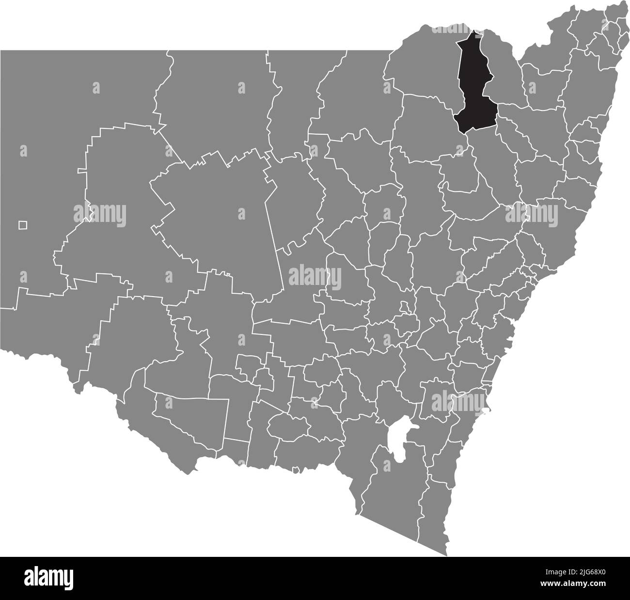 Carte de localisation du GWYDIR SHIRE, NOUVELLE-GALLES DU SUD Illustration de Vecteurhttps://www.alamyimages.fr/image-license-details/?v=1https://www.alamyimages.fr/carte-de-localisation-du-gwydir-shire-nouvelle-galles-du-sud-image474653144.html
RF2JG68X0–Carte de localisation du GWYDIR SHIRE, NOUVELLE-GALLES DU SUD
 Carte de localisation de l'URALLA SHIRE, NOUVELLE-GALLES DU SUD Illustration de Vecteurhttps://www.alamyimages.fr/image-license-details/?v=1https://www.alamyimages.fr/carte-de-localisation-de-l-uralla-shire-nouvelle-galles-du-sud-image474653205.html
RF2JG6905–Carte de localisation de l'URALLA SHIRE, NOUVELLE-GALLES DU SUD
 Carte de localisation du SHIRE DE LOCKHART, NOUVELLE-GALLES DU SUD Illustration de Vecteurhttps://www.alamyimages.fr/image-license-details/?v=1https://www.alamyimages.fr/carte-de-localisation-du-shire-de-lockhart-nouvelle-galles-du-sud-image474653324.html
RF2JG694C–Carte de localisation du SHIRE DE LOCKHART, NOUVELLE-GALLES DU SUD
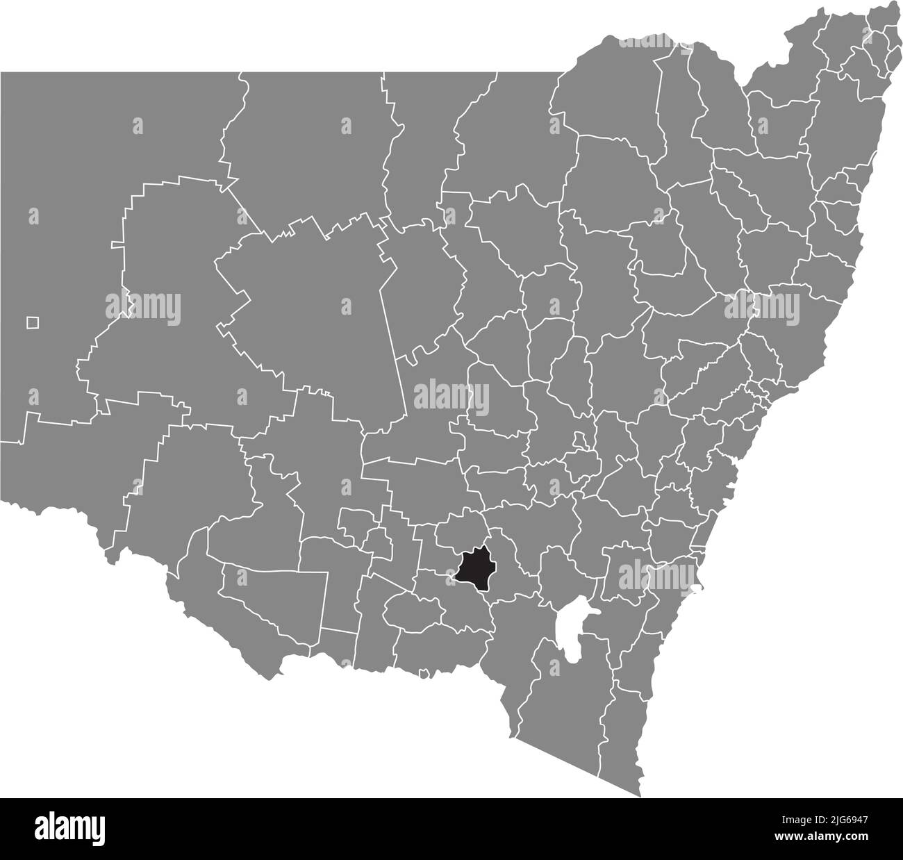 Carte de localisation du SHIRE JUNEE, NOUVELLE-GALLES DU SUD Illustration de Vecteurhttps://www.alamyimages.fr/image-license-details/?v=1https://www.alamyimages.fr/carte-de-localisation-du-shire-junee-nouvelle-galles-du-sud-image474653319.html
RF2JG6947–Carte de localisation du SHIRE JUNEE, NOUVELLE-GALLES DU SUD
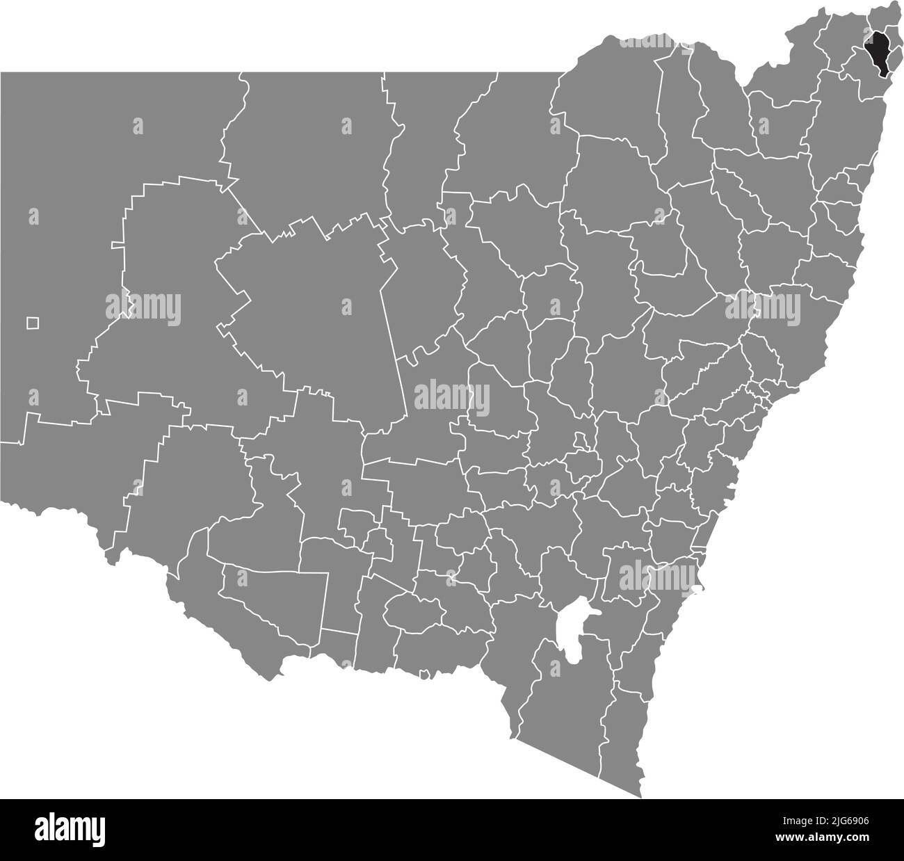 Carte de localisation de la VILLE DE LISMORE, NOUVELLE-GALLES DU SUD Illustration de Vecteurhttps://www.alamyimages.fr/image-license-details/?v=1https://www.alamyimages.fr/carte-de-localisation-de-la-ville-de-lismore-nouvelle-galles-du-sud-image474653206.html
RF2JG6906–Carte de localisation de la VILLE DE LISMORE, NOUVELLE-GALLES DU SUD
 Carte de localisation du SHIRE DE GUNNEDAH, NOUVELLE-GALLES DU SUD Illustration de Vecteurhttps://www.alamyimages.fr/image-license-details/?v=1https://www.alamyimages.fr/carte-de-localisation-du-shire-de-gunnedah-nouvelle-galles-du-sud-image474653234.html
RF2JG6916–Carte de localisation du SHIRE DE GUNNEDAH, NOUVELLE-GALLES DU SUD
 Carte de localisation de la BALLINA SHIRE, NOUVELLE-GALLES DU SUD Illustration de Vecteurhttps://www.alamyimages.fr/image-license-details/?v=1https://www.alamyimages.fr/carte-de-localisation-de-la-ballina-shire-nouvelle-galles-du-sud-image474653192.html
RF2JG68YM–Carte de localisation de la BALLINA SHIRE, NOUVELLE-GALLES DU SUD
 Carte de localisation du BOGAN SHIRE, NOUVELLE-GALLES DU SUD Illustration de Vecteurhttps://www.alamyimages.fr/image-license-details/?v=1https://www.alamyimages.fr/carte-de-localisation-du-bogan-shire-nouvelle-galles-du-sud-image474653238.html
RF2JG691A–Carte de localisation du BOGAN SHIRE, NOUVELLE-GALLES DU SUD
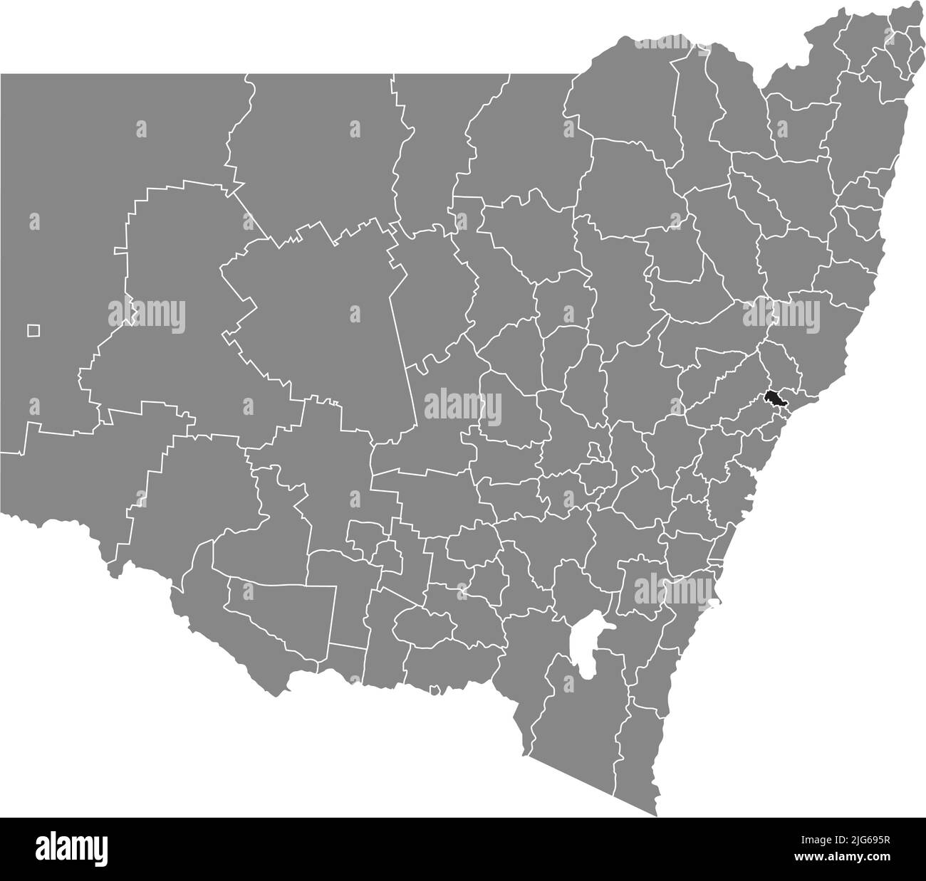 Carte de localisation de la VILLE DE MAITLAND, NOUVELLE-GALLES DU SUD Illustration de Vecteurhttps://www.alamyimages.fr/image-license-details/?v=1https://www.alamyimages.fr/carte-de-localisation-de-la-ville-de-maitland-nouvelle-galles-du-sud-image474653363.html
RF2JG695R–Carte de localisation de la VILLE DE MAITLAND, NOUVELLE-GALLES DU SUD
 Carte de localisation du CONSEIL DE SINGLETON, NOUVELLE-GALLES DU SUD Illustration de Vecteurhttps://www.alamyimages.fr/image-license-details/?v=1https://www.alamyimages.fr/carte-de-localisation-du-conseil-de-singleton-nouvelle-galles-du-sud-image474653331.html
RF2JG694K–Carte de localisation du CONSEIL DE SINGLETON, NOUVELLE-GALLES DU SUD
 Carte topographique de la NOUVELLE-GALLES DU SUD, AUSTRALIE Illustration de Vecteurhttps://www.alamyimages.fr/image-license-details/?v=1https://www.alamyimages.fr/carte-topographique-de-la-nouvelle-galles-du-sud-australie-image474653403.html
RF2JG6977–Carte topographique de la NOUVELLE-GALLES DU SUD, AUSTRALIE
 Carte de localisation du TENTERFIELD SHIRE, NOUVELLE-GALLES DU SUD Illustration de Vecteurhttps://www.alamyimages.fr/image-license-details/?v=1https://www.alamyimages.fr/carte-de-localisation-du-tenterfield-shire-nouvelle-galles-du-sud-image474653318.html
RF2JG6946–Carte de localisation du TENTERFIELD SHIRE, NOUVELLE-GALLES DU SUD
 Carte de localisation de la VILLE DE GRIFFITH, NOUVELLE-GALLES DU SUD Illustration de Vecteurhttps://www.alamyimages.fr/image-license-details/?v=1https://www.alamyimages.fr/carte-de-localisation-de-la-ville-de-griffith-nouvelle-galles-du-sud-image474653520.html
RF2JG69BC–Carte de localisation de la VILLE DE GRIFFITH, NOUVELLE-GALLES DU SUD
 Carte de localisation de la GILGANDRA SHIRE, NOUVELLE-GALLES DU SUD Illustration de Vecteurhttps://www.alamyimages.fr/image-license-details/?v=1https://www.alamyimages.fr/carte-de-localisation-de-la-gilgandra-shire-nouvelle-galles-du-sud-image474653290.html
RF2JG6936–Carte de localisation de la GILGANDRA SHIRE, NOUVELLE-GALLES DU SUD
 Carte de localisation de la VILLE DE WOLLONGONG, NOUVELLE-GALLES DU SUD Illustration de Vecteurhttps://www.alamyimages.fr/image-license-details/?v=1https://www.alamyimages.fr/carte-de-localisation-de-la-ville-de-wollongong-nouvelle-galles-du-sud-image474653398.html
RF2JG6972–Carte de localisation de la VILLE DE WOLLONGONG, NOUVELLE-GALLES DU SUD
 Carte de localisation de la VILLE DE NEWCASTLE, NOUVELLE-GALLES DU SUD Illustration de Vecteurhttps://www.alamyimages.fr/image-license-details/?v=1https://www.alamyimages.fr/carte-de-localisation-de-la-ville-de-newcastle-nouvelle-galles-du-sud-image474653430.html
RF2JG6986–Carte de localisation de la VILLE DE NEWCASTLE, NOUVELLE-GALLES DU SUD
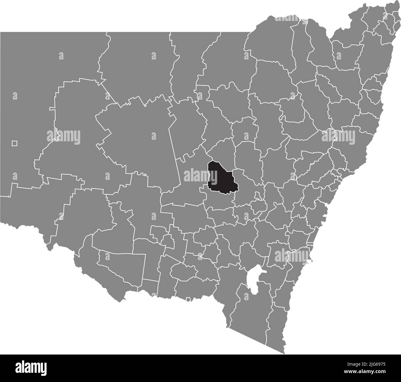 Carte de localisation du PARKES SHIRE, NOUVELLE-GALLES DU SUD Illustration de Vecteurhttps://www.alamyimages.fr/image-license-details/?v=1https://www.alamyimages.fr/carte-de-localisation-du-parkes-shire-nouvelle-galles-du-sud-image474653401.html
RF2JG6975–Carte de localisation du PARKES SHIRE, NOUVELLE-GALLES DU SUD
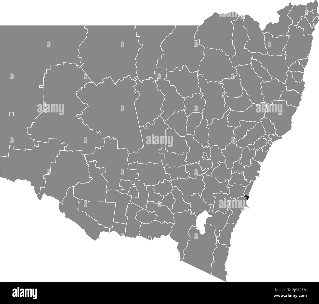 Carte de localisation de la MUNICIPALITÉ DE KIAMA, NOUVELLE-GALLES DU SUD Illustration de Vecteurhttps://www.alamyimages.fr/image-license-details/?v=1https://www.alamyimages.fr/carte-de-localisation-de-la-municipalite-de-kiama-nouvelle-galles-du-sud-image474653360.html
RF2JG695M–Carte de localisation de la MUNICIPALITÉ DE KIAMA, NOUVELLE-GALLES DU SUD
 Carte de localisation de la RÉGION DE BATHURST, NOUVELLE-GALLES DU SUD Illustration de Vecteurhttps://www.alamyimages.fr/image-license-details/?v=1https://www.alamyimages.fr/carte-de-localisation-de-la-region-de-bathurst-nouvelle-galles-du-sud-image474653202.html
RF2JG6902–Carte de localisation de la RÉGION DE BATHURST, NOUVELLE-GALLES DU SUD
 Carte de localisation du WARREN SHIRE, NOUVELLE-GALLES DU SUD Illustration de Vecteurhttps://www.alamyimages.fr/image-license-details/?v=1https://www.alamyimages.fr/carte-de-localisation-du-warren-shire-nouvelle-galles-du-sud-image474653427.html
RF2JG6983–Carte de localisation du WARREN SHIRE, NOUVELLE-GALLES DU SUD
 Carte de localisation du SHIRE NARRABRI, NOUVELLE-GALLES DU SUD Illustration de Vecteurhttps://www.alamyimages.fr/image-license-details/?v=1https://www.alamyimages.fr/carte-de-localisation-du-shire-narrabri-nouvelle-galles-du-sud-image474653141.html
RF2JG68WW–Carte de localisation du SHIRE NARRABRI, NOUVELLE-GALLES DU SUD
 Carte de localisation de la VILLE D'ORANGE, NOUVELLE-GALLES DU SUD Illustration de Vecteurhttps://www.alamyimages.fr/image-license-details/?v=1https://www.alamyimages.fr/carte-de-localisation-de-la-ville-d-orange-nouvelle-galles-du-sud-image474653064.html
RF2JG68R4–Carte de localisation de la VILLE D'ORANGE, NOUVELLE-GALLES DU SUD
 Carte de localisation du CONSEIL KYOGLE, NOUVELLE-GALLES DU SUD Illustration de Vecteurhttps://www.alamyimages.fr/image-license-details/?v=1https://www.alamyimages.fr/carte-de-localisation-du-conseil-kyogle-nouvelle-galles-du-sud-image474653368.html
RF2JG6960–Carte de localisation du CONSEIL KYOGLE, NOUVELLE-GALLES DU SUD
 Carte de localisation du SHIRE WINGECARRIBEE, NOUVELLE-GALLES DU SUD Illustration de Vecteurhttps://www.alamyimages.fr/image-license-details/?v=1https://www.alamyimages.fr/carte-de-localisation-du-shire-wingecarribee-nouvelle-galles-du-sud-image474653522.html
RF2JG69BE–Carte de localisation du SHIRE WINGECARRIBEE, NOUVELLE-GALLES DU SUD
 Carte de localisation du SHIRE DE WARRUMBUNGLE, NOUVELLE-GALLES DU SUD Illustration de Vecteurhttps://www.alamyimages.fr/image-license-details/?v=1https://www.alamyimages.fr/carte-de-localisation-du-shire-de-warrumbungle-nouvelle-galles-du-sud-image474653432.html
RF2JG6988–Carte de localisation du SHIRE DE WARRUMBUNGLE, NOUVELLE-GALLES DU SUD
 Carte de localisation du TWEED SHIRE, NOUVELLE-GALLES DU SUD Illustration de Vecteurhttps://www.alamyimages.fr/image-license-details/?v=1https://www.alamyimages.fr/carte-de-localisation-du-tweed-shire-nouvelle-galles-du-sud-image474653208.html
RF2JG6908–Carte de localisation du TWEED SHIRE, NOUVELLE-GALLES DU SUD
 Carte de localisation de l'INVERELL SHIRE, NOUVELLE-GALLES DU SUD Illustration de Vecteurhttps://www.alamyimages.fr/image-license-details/?v=1https://www.alamyimages.fr/carte-de-localisation-de-l-inverell-shire-nouvelle-galles-du-sud-image474653140.html
RF2JG68WT–Carte de localisation de l'INVERELL SHIRE, NOUVELLE-GALLES DU SUD
 Carte de localisation du SHIRE de BREWARRINA, NOUVELLE-GALLES DU SUD Illustration de Vecteurhttps://www.alamyimages.fr/image-license-details/?v=1https://www.alamyimages.fr/carte-de-localisation-du-shire-de-brewarrina-nouvelle-galles-du-sud-image474653278.html
RF2JG692P–Carte de localisation du SHIRE de BREWARRINA, NOUVELLE-GALLES DU SUD
 Carte de localisation du FOIN SHIRE, NOUVELLE-GALLES DU SUD Illustration de Vecteurhttps://www.alamyimages.fr/image-license-details/?v=1https://www.alamyimages.fr/carte-de-localisation-du-foin-shire-nouvelle-galles-du-sud-image474653328.html
RF2JG694G–Carte de localisation du FOIN SHIRE, NOUVELLE-GALLES DU SUD
 Carte de localisation du BYRON SHIRE, NOUVELLE-GALLES DU SUD Illustration de Vecteurhttps://www.alamyimages.fr/image-license-details/?v=1https://www.alamyimages.fr/carte-de-localisation-du-byron-shire-nouvelle-galles-du-sud-image474653356.html
RF2JG695G–Carte de localisation du BYRON SHIRE, NOUVELLE-GALLES DU SUD
 Carte de localisation du LEETON SHIRE , NOUVELLE-GALLES DU SUD Illustration de Vecteurhttps://www.alamyimages.fr/image-license-details/?v=1https://www.alamyimages.fr/carte-de-localisation-du-leeton-shire-nouvelle-galles-du-sud-image474653358.html
RF2JG695J–Carte de localisation du LEETON SHIRE , NOUVELLE-GALLES DU SUD
 Carte de localisation du SHIRE DUNGOG, NOUVELLE-GALLES DU SUD Illustration de Vecteurhttps://www.alamyimages.fr/image-license-details/?v=1https://www.alamyimages.fr/carte-de-localisation-du-shire-dungog-nouvelle-galles-du-sud-image474653453.html
RF2JG6991–Carte de localisation du SHIRE DUNGOG, NOUVELLE-GALLES DU SUD
 Carte de localisation du SHIRE de CABONNE, NOUVELLE-GALLES DU SUD Illustration de Vecteurhttps://www.alamyimages.fr/image-license-details/?v=1https://www.alamyimages.fr/carte-de-localisation-du-shire-de-cabonne-nouvelle-galles-du-sud-image474653362.html
RF2JG695P–Carte de localisation du SHIRE de CABONNE, NOUVELLE-GALLES DU SUD
 Carte de localisation du CONSEIL DE DISTRICT DE BARUNGA OUEST, AUSTRALIE MÉRIDIONALE Illustration de Vecteurhttps://www.alamyimages.fr/image-license-details/?v=1https://www.alamyimages.fr/carte-de-localisation-du-conseil-de-district-de-barunga-ouest-australie-meridionale-image474660563.html
RF2JG6JAY–Carte de localisation du CONSEIL DE DISTRICT DE BARUNGA OUEST, AUSTRALIE MÉRIDIONALE
 Carte de localisation du CONSEIL DE DISTRICT DE COOBER PEDY, AUSTRALIE MÉRIDIONALE Illustration de Vecteurhttps://www.alamyimages.fr/image-license-details/?v=1https://www.alamyimages.fr/carte-de-localisation-du-conseil-de-district-de-coober-pedy-australie-meridionale-image474660617.html
RF2JG6JCW–Carte de localisation du CONSEIL DE DISTRICT DE COOBER PEDY, AUSTRALIE MÉRIDIONALE
 Carte de localisation du CONSEIL RÉGIONAL DU PORT PIRIE, AUSTRALIE MÉRIDIONALE Illustration de Vecteurhttps://www.alamyimages.fr/image-license-details/?v=1https://www.alamyimages.fr/carte-de-localisation-du-conseil-regional-du-port-pirie-australie-meridionale-image474660300.html
RF2JG6J1G–Carte de localisation du CONSEIL RÉGIONAL DU PORT PIRIE, AUSTRALIE MÉRIDIONALE
 Carte de localisation du CONSEIL DE DISTRICT DE LOXTON WAIKERIE, AUSTRALIE MÉRIDIONALE Illustration de Vecteurhttps://www.alamyimages.fr/image-license-details/?v=1https://www.alamyimages.fr/carte-de-localisation-du-conseil-de-district-de-loxton-waikerie-australie-meridionale-image474660488.html
RF2JG6J88–Carte de localisation du CONSEIL DE DISTRICT DE LOXTON WAIKERIE, AUSTRALIE MÉRIDIONALE
 Carte de localisation du CONSEIL MUNICIPAL DE ROXBY DOWNS, AUSTRALIE MÉRIDIONALE Illustration de Vecteurhttps://www.alamyimages.fr/image-license-details/?v=1https://www.alamyimages.fr/carte-de-localisation-du-conseil-municipal-de-roxby-downs-australie-meridionale-image474660274.html
RF2JG6J0J–Carte de localisation du CONSEIL MUNICIPAL DE ROXBY DOWNS, AUSTRALIE MÉRIDIONALE
 Carte gris foncé des zones gouvernementales locales de L'AUSTRALIE MÉRIDIONALE Illustration de Vecteurhttps://www.alamyimages.fr/image-license-details/?v=1https://www.alamyimages.fr/carte-gris-fonce-des-zones-gouvernementales-locales-de-l-australie-meridionale-image474660574.html
RF2JG6JBA–Carte gris foncé des zones gouvernementales locales de L'AUSTRALIE MÉRIDIONALE
 Carte de localisation de la VILLE RURALE DE MURRAY BRIDGE, AUSTRALIE MÉRIDIONALE Illustration de Vecteurhttps://www.alamyimages.fr/image-license-details/?v=1https://www.alamyimages.fr/carte-de-localisation-de-la-ville-rurale-de-murray-bridge-australie-meridionale-image474660497.html
RF2JG6J8H–Carte de localisation de la VILLE RURALE DE MURRAY BRIDGE, AUSTRALIE MÉRIDIONALE
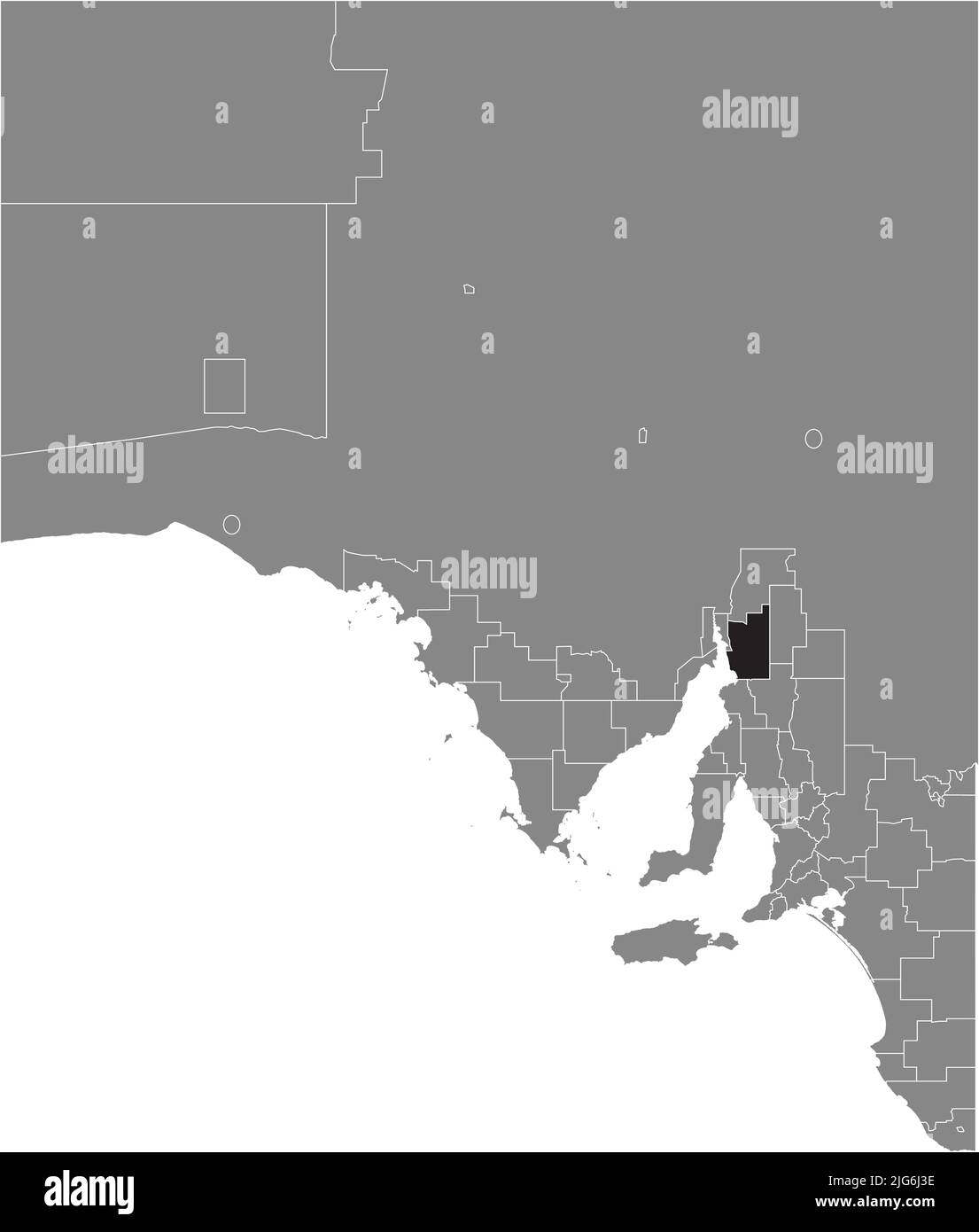 Carte de localisation du CONSEIL DE DISTRICT DE MOUNT REMARKABLE, AUSTRALIE MÉRIDIONALE Illustration de Vecteurhttps://www.alamyimages.fr/image-license-details/?v=1https://www.alamyimages.fr/carte-de-localisation-du-conseil-de-district-de-mount-remarkable-australie-meridionale-image474660354.html
RF2JG6J3E–Carte de localisation du CONSEIL DE DISTRICT DE MOUNT REMARKABLE, AUSTRALIE MÉRIDIONALE
 Carte de localisation du CONSEIL DE DISTRICT D'ORROROO CARRIETON, AUSTRALIE MÉRIDIONALE Illustration de Vecteurhttps://www.alamyimages.fr/image-license-details/?v=1https://www.alamyimages.fr/carte-de-localisation-du-conseil-de-district-d-orroroo-carrieton-australie-meridionale-image474660613.html
RF2JG6JCN–Carte de localisation du CONSEIL DE DISTRICT D'ORROROO CARRIETON, AUSTRALIE MÉRIDIONALE
 Carte de localisation du CONSEIL DE DISTRICT DE TUMBY BAY, AUSTRALIE MÉRIDIONALE Illustration de Vecteurhttps://www.alamyimages.fr/image-license-details/?v=1https://www.alamyimages.fr/carte-de-localisation-du-conseil-de-district-de-tumby-bay-australie-meridionale-image474660885.html
RF2JG6JPD–Carte de localisation du CONSEIL DE DISTRICT DE TUMBY BAY, AUSTRALIE MÉRIDIONALE
 Carte de localisation du CONSEIL DE DISTRICT DE MALLEE SUD, AUSTRALIE MÉRIDIONALE Illustration de Vecteurhttps://www.alamyimages.fr/image-license-details/?v=1https://www.alamyimages.fr/carte-de-localisation-du-conseil-de-district-de-mallee-sud-australie-meridionale-image474660289.html
RF2JG6J15–Carte de localisation du CONSEIL DE DISTRICT DE MALLEE SUD, AUSTRALIE MÉRIDIONALE