Taylor canyon Banque d’images détourées
(13)Taylor canyon Banque d’images détourées
 Carte de l'USGS TOPO Canyon Californie CA Taylor 2953901959 Restauration 24000 Banque D'Imageshttps://www.alamyimages.fr/image-license-details/?v=1https://www.alamyimages.fr/carte-de-l-usgs-topo-canyon-californie-ca-taylor-2953901959-restauration-24000-image243469136.html
RMT42YA8–Carte de l'USGS TOPO Canyon Californie CA Taylor 2953901959 Restauration 24000
 BOILLOT(1899) p101 Miles Canyon (RAPIDES DU WHITE HOUSE). DESSIN DE TAYLOR, D'APRÈS UNE PHOTOGRAPHIE DE M. GOLDSCHMIDT Banque D'Imageshttps://www.alamyimages.fr/image-license-details/?v=1https://www.alamyimages.fr/photo-image-boillot-1899-p101-miles-canyon-rapides-du-white-house-dessin-de-taylor-d-apres-une-photographie-de-m-goldschmidt-171342846.html
RMKXN9FA–BOILLOT(1899) p101 Miles Canyon (RAPIDES DU WHITE HOUSE). DESSIN DE TAYLOR, D'APRÈS UNE PHOTOGRAPHIE DE M. GOLDSCHMIDT
 Box Canyon Mobile Home Park, Taylor County, US, États-Unis, Floride, n 30 9' 54'', S 83 37' 59'', carte, Cartascapes carte publiée en 2024. Explorez Cartascapes, une carte qui révèle la diversité des paysages, des cultures et des écosystèmes de la Terre. Voyage à travers le temps et l'espace, découvrir l'interconnexion du passé, du présent et de l'avenir de notre planète. Banque D'Imageshttps://www.alamyimages.fr/image-license-details/?v=1https://www.alamyimages.fr/box-canyon-mobile-home-park-taylor-county-us-etats-unis-floride-n-30-9-54-s-83-37-59-carte-cartascapes-carte-publiee-en-2024-explorez-cartascapes-une-carte-qui-revele-la-diversite-des-paysages-des-cultures-et-des-ecosystemes-de-la-terre-voyage-a-travers-le-temps-et-l-espace-decouvrir-l-interconnexion-du-passe-du-present-et-de-l-avenir-de-notre-planete-image620855484.html
RM2Y22BE4–Box Canyon Mobile Home Park, Taylor County, US, États-Unis, Floride, n 30 9' 54'', S 83 37' 59'', carte, Cartascapes carte publiée en 2024. Explorez Cartascapes, une carte qui révèle la diversité des paysages, des cultures et des écosystèmes de la Terre. Voyage à travers le temps et l'espace, découvrir l'interconnexion du passé, du présent et de l'avenir de notre planète.
 BOILLOT(1899) p101 Miles Canyon (RAPIDES DU WHITE HOUSE). DESSIN DE TAYLOR, D'APRC388S UNE PHOTOGRAPHIE DE M. GOLDSCHMIDT Banque D'Imageshttps://www.alamyimages.fr/image-license-details/?v=1https://www.alamyimages.fr/photo-image-boillot-1899-p101-miles-canyon-rapides-du-white-house-dessin-de-taylor-d-aprc388s-une-photographie-de-m-goldschmidt-73741718.html
RME7Y68P–BOILLOT(1899) p101 Miles Canyon (RAPIDES DU WHITE HOUSE). DESSIN DE TAYLOR, D'APRC388S UNE PHOTOGRAPHIE DE M. GOLDSCHMIDT
 Carte de l'USGS TOPO Canyon Californie CA Taylor 3008011959 Restauration 24000 Banque D'Imageshttps://www.alamyimages.fr/image-license-details/?v=1https://www.alamyimages.fr/carte-de-l-usgs-topo-canyon-californie-ca-taylor-3008011959-restauration-24000-image243469150.html
RMT42YAP–Carte de l'USGS TOPO Canyon Californie CA Taylor 3008011959 Restauration 24000
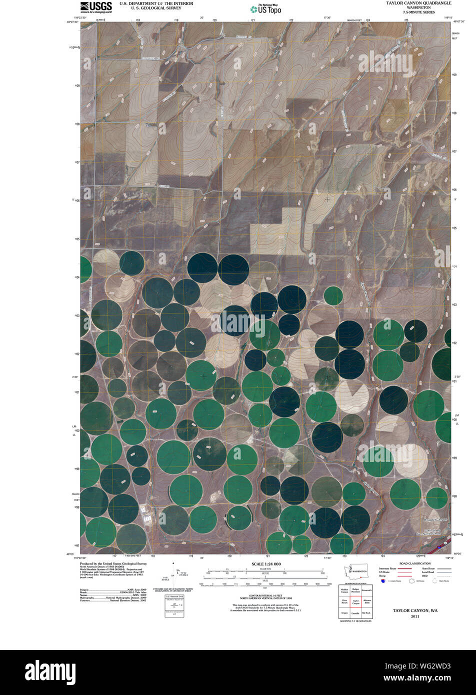
 L'État de Washington, de l'USGS Topo Map WA Taylor Canyon 20110429 Restauration TM Banque D'Imageshttps://www.alamyimages.fr/image-license-details/?v=1https://www.alamyimages.fr/l-etat-de-washington-de-l-usgs-topo-map-wa-taylor-canyon-20110429-restauration-tm-image268053887.html
RMWG2WD3–L'État de Washington, de l'USGS Topo Map WA Taylor Canyon 20110429 Restauration TM
 BOILLOT(1899) p101 Miles Canyon (RAPIDES DU WHITE HOUSE). DESSIN DE TAYLOR, D'APRC388S UNE PHOTOGRAPHIE DE M. GOLDSCHMIDT Banque D'Imageshttps://www.alamyimages.fr/image-license-details/?v=1https://www.alamyimages.fr/photo-image-boillot-1899-p101-miles-canyon-rapides-du-white-house-dessin-de-taylor-d-aprc388s-une-photographie-de-m-goldschmidt-76403449.html
RMEC8DAH–BOILLOT(1899) p101 Miles Canyon (RAPIDES DU WHITE HOUSE). DESSIN DE TAYLOR, D'APRC388S UNE PHOTOGRAPHIE DE M. GOLDSCHMIDT
 L'État de Washington, de l'USGS Topo Map WA Taylor Canyon 2442141965 Restauration 24000 Banque D'Imageshttps://www.alamyimages.fr/image-license-details/?v=1https://www.alamyimages.fr/l-etat-de-washington-de-l-usgs-topo-map-wa-taylor-canyon-2442141965-restauration-24000-image268054245.html
RMWG2WWW–L'État de Washington, de l'USGS Topo Map WA Taylor Canyon 2442141965 Restauration 24000
 Taylor Canyon, Texas, carte 1983, 1:24000, États-Unis d'Amérique par Timeless Maps, données U.S. Geological Survey Banque D'Imageshttps://www.alamyimages.fr/image-license-details/?v=1https://www.alamyimages.fr/taylor-canyon-texas-carte-1983-1-24000-etats-unis-d-amerique-par-timeless-maps-donnees-u-s-geological-survey-image406992052.html
RM2EJ42EC–Taylor Canyon, Texas, carte 1983, 1:24000, États-Unis d'Amérique par Timeless Maps, données U.S. Geological Survey
 Carte de l'USGS TOPO Canyon Taylor TX Texas 20100326 Restauration TM Banque D'Imageshttps://www.alamyimages.fr/image-license-details/?v=1https://www.alamyimages.fr/carte-de-l-usgs-topo-canyon-taylor-tx-texas-20100326-restauration-tm-image332671381.html
RM2A96DMN–Carte de l'USGS TOPO Canyon Taylor TX Texas 20100326 Restauration TM
 Carte de l'USGS TOPO Canyon Taylor TX Texas 20130107 Restauration TM Banque D'Imageshttps://www.alamyimages.fr/image-license-details/?v=1https://www.alamyimages.fr/carte-de-l-usgs-topo-canyon-taylor-tx-texas-20130107-restauration-tm-image332671468.html
RM2A96DRT–Carte de l'USGS TOPO Canyon Taylor TX Texas 20130107 Restauration TM
 Carte de l'USGS TOPO Canyon Taylor Texas TX 1216371983 Restauration 24000 Banque D'Imageshttps://www.alamyimages.fr/image-license-details/?v=1https://www.alamyimages.fr/carte-de-l-usgs-topo-canyon-taylor-texas-tx-1216371983-restauration-24000-image332671376.html
RM2A96DMG–Carte de l'USGS TOPO Canyon Taylor Texas TX 1216371983 Restauration 24000
 Carte TOPO USGS Idaho ID Taylor Canyon 2384181978 Restauration 24000 Banque D'Imageshttps://www.alamyimages.fr/image-license-details/?v=1https://www.alamyimages.fr/carte-topo-usgs-idaho-id-taylor-canyon-2384181978-restauration-24000-image249215275.html
RMTDCMHF–Carte TOPO USGS Idaho ID Taylor Canyon 2384181978 Restauration 24000